
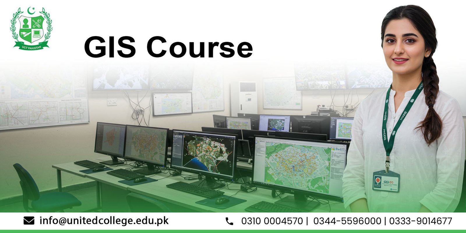
Geographic Information Systems (GIS) are transforming industries by providing powerful tools for mapping, data analysis, and spatial decision-making. At United College of Technology (UCT), our GIS Course in Rawalpindi is designed to provide students with hands-on training in modern GIS tools and techniques. This program is ideal for learners who want to pursue careers in surveying, urban planning, environmental management, civil engineering, and IT-based geospatial applications.
UCT offers industry-focused training that combines theory with practical lab sessions. Students learn not only how to use GIS software but also how to apply it in real-world projects. The course is taught by experienced professionals who ensure that every student gains strong technical and analytical skills. With growing demand for GIS professionals in Pakistan and abroad, this training opens new career opportunities in multiple sectors.
Geographic Information Systems (GIS) allow users to capture, store, analyze, and visualize spatial data. This technology is widely used in fields such as urban development, disaster management, agriculture, and environmental monitoring. Our Geographic Information System course provides a complete foundation, from understanding geospatial concepts to using GIS software for professional applications.
The GIS Course in Rawalpindi at UCT covers a wide range of topics to ensure students become proficient in both technical and applied areas of GIS, including:
One of the highlights of this course is the integration of remote sensing training. Students learn how to interpret satellite imagery, apply image processing techniques, and use remote sensing data for land use, environmental monitoring, and disaster management. This combination of GIS and remote sensing makes the course highly practical and career-focused.
The program emphasizes practical learning with popular GIS software such as ArcGIS, QGIS, and ERDAS Imagine. Students work on real-world projects, learning to analyze geographic data, create digital maps, and perform spatial modeling. By the end of the course, participants will be confident in using these tools for professional tasks.
GIS professionals must be skilled in mapping and spatial analysis. In this course, students develop expertise in analyzing spatial patterns, visualizing geographic trends, and generating reports that aid in decision-making. These skills are especially valuable in urban planning, construction projects, and resource management.
Data is most effective when presented visually. Our GIS training in Rawalpindi includes modules on designing high-quality maps and visual representations of data. Students learn to create charts, 3D models, and interactive dashboards that make complex geographic information easy to understand and communicate.
Graduates of the GIS diploma in Rawalpindi can pursue careers in multiple industries. GIS specialists are in demand in government organizations, construction companies, IT firms, NGOs, and international development projects. This makes the course an excellent investment for students seeking high-demand technical careers.
The GIS Course in Rawalpindi is ideal for:
Studying GIS at UCT provides:
Understanding that students may have different schedules, UCT offers flexible learning options for the GIS course. Both weekday and weekend classes are available, making it easier for working professionals and students to pursue training without interrupting their commitments.
As a leading technical institute in Rawalpindi, United College of Technology has built a reputation for delivering high-quality education in technical and IT fields. Our focus on practical training, career counseling, and industry-ready skills makes UCT the preferred choice for students who want to build a future in GIS and geospatial technology.


.jpg)
.jpg)
.jpg)
.jpg)
The GIS Course at UCT typically spans 3 to 6 months, depending on the study mode (regular or weekend classes). This duration ensures that students not only learn theoretical concepts but also gain hands-on training with GIS and remote sensing software.
Anyone with a basic understanding of computers can join the course. It is especially suitable for civil engineers, urban planners, surveyors, environmentalists, IT graduates, and students looking to start a career in mapping and spatial analysis.
Students are trained on popular GIS software including ArcGIS, QGIS, ERDAS Imagine, and Google Earth Pro. These tools are widely used in government, private, and international organizations, making graduates job-ready.
After completing the GIS diploma in Rawalpindi, graduates can work as GIS Analysts, Remote Sensing Specialists, Survey Engineers, Mapping Technicians, and Data Visualization Experts in sectors like construction, IT, environment, and government planning departments.
Yes, upon successful completion of the course, UCT awards a recognized certificate that strengthens your CV and improves career opportunities both in Pakistan and abroad.