


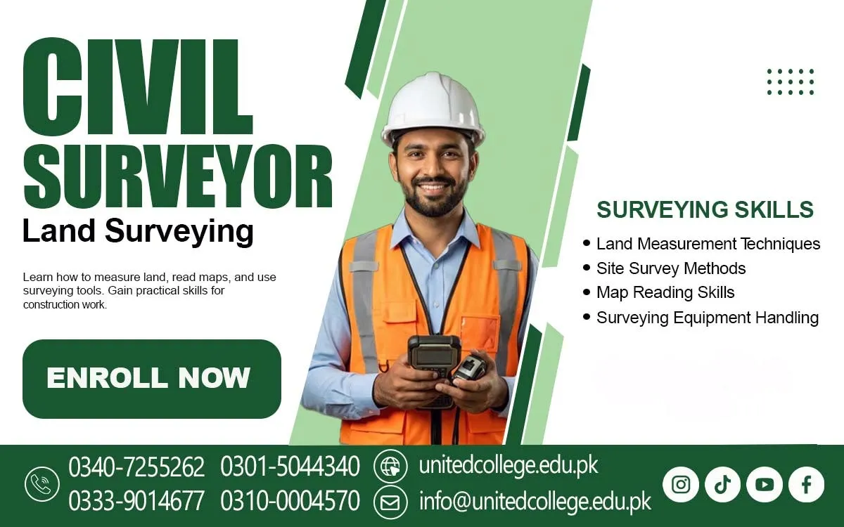

Civil Surveyor Course in Batagram Learn Accurate Ground Assessment
Discover the Skills That Bring Land Plans to Life
A construction project needs more than a good design and building materials. It also needs accurate information about the land where the work will take place. Before a road is developed, a building is constructed, or an area is prepared for infrastructure, measurements help planners understand the ground and make better decisions. Civil surveying provides this important information by measuring distances, angles, elevations, and land features.
The Civil Surveyor Course in Batagram introduces learners to the basic knowledge behind this important technical field. It helps beginners understand how surveyors collect information, use measuring instruments, read site plans, and record field observations. For students and individuals interested in construction or land development, learning these skills can provide a useful starting point for understanding how construction projects move from planning to practical work.
From Empty Land to Planned Projects: The Importance of Civil Surveying
Civil surveying helps construction teams understand the land before work begins. It provides information about site boundaries, ground levels, distances, and the position of important features. This information supports building construction, road layouts, land mapping, and infrastructure development. Without proper measurements, a project may face planning problems or errors during construction. Students enrolled in a Civil Surveyor Course in Batagram can learn how these measurements support construction planning.
Surveying also helps engineers compare the actual site with the proposed design. For example, when a road is planned across an uneven area, survey measurements can help identify changes in ground elevation. Similarly, building teams use site information to understand where structures should be positioned. These examples show how Construction Surveying connects technical measurements with practical decisions.
The Core Measurement Skills Behind Professional Land Assessment
A civil surveyor needs to understand different methods of measuring land. These include checking horizontal distances, measuring angles, finding elevation differences, and calculating land areas. Each measurement provides a different type of information about a site. Learners also study basic surveying principles to understand how measurements should be taken and recorded.
Learners can explore coordinates, benchmarks, and reference points. Coordinates help identify a location, while a benchmark is a fixed point with a known elevation used for comparison. Reference points provide a reliable starting position for measurements. Understanding these terms helps learners follow survey information and recognize how different measurements relate to one another.
Meet the Tools That Help Surveyors Read the Ground
Surveying instruments allow professionals to collect information with greater accuracy. A measuring tape is useful for checking short distances, while a levelling instrument helps compare the heights of different points. These basic tools help learners understand how survey measurements work during outdoor activities and why proper instrument handling matters. Other equipment supports more detailed surveying tasks. A
theodolite measures horizontal and vertical angles, while a total station combines angle and distance measurement functions. GPS devices help identify geographical positions through satellite signals. Learners can also become familiar with how modern surveying techniques use digital tools to collect and manage information. Understanding the purpose of each instrument builds a foundation for learning more advanced Surveying Instruments and their applications.
Read Maps and Technical Drawings with Greater Understanding
Surveying information becomes more useful when it can be understood through maps, site plans, and technical drawings. These documents show the shape, measurements, and features of a particular area. A site plan may show the proposed position of a building, access points, boundaries, and other important details. Learning to read such drawings helps beginners understand how survey data supports construction planning.
Map reading also introduces learners to symbols, scales, and basic measurement references. A map scale explains how a distance shown on paper relates to the actual distance on the ground. Learners enrolled in a Civil Surveyor Course in Batagram can explore how survey information is transferred into a clear visual format and how it helps technical teams understand a site. This knowledge is useful when studying property measurement, land mapping, and project layouts.
Turn Field Observations into Clear and Useful Survey Records
Collecting measurements is only one part of surveying work. A surveyor must also record the information in an organized way so that it can be checked and used later. Field records may include distances, angles, elevations, coordinates, and notes about visible site features. Clear records help reduce confusion and make it easier for other team members to understand the collected information.
Learners can also study how surveyors identify land boundaries and understand site layouts. For example, when measuring a property, it is important to recognize the points that define its limits and record the relevant information carefully. Basic GPS knowledge can introduce learners to modern location-based methods. Through Civil Surveying Training, beginners can understand how observation, accurate recording, and careful checking work together during field activities.
Build Technical Confidence Through Step-by-Step Surveying Knowledge
For beginners, surveying may seem difficult because it combines mathematics, instruments, drawings, and outdoor work. However, learning the subject step by step can make these ideas easier to understand. Starting with simple distance measurements and basic calculations helps learners become familiar with the principles before exploring more detailed methods.
The Civil Surveyor Training can introduce interested learners to the knowledge needed to understand construction sites and measurement tasks. Patience and observation are important because surveyors need to notice small differences in readings and check information carefully. Learners can also develop an understanding of responsible fieldwork, equipment handling, and basic safety practices. These skills help build a stronger foundation for further study of surveying methods.
Explore Civil Surveying Learning Through United College of Technology
The Civil Surveyor Training is offered by United College of Technology for individuals who want to explore land measurement and the technical side of construction. The subject is relevant to beginners who want to understand how surveyors collect site information, use instruments, and support construction planning through accurate measurements.
Learning about surveying can help students connect classroom concepts with the practical requirements of construction work. Topics such as levelling, site measurement, coordinates, and technical drawings introduce learners to different parts of the surveying process. People considering this field can review the available course information from United College of Technology to understand the learning options and decide whether the subject matches their interests.
Where Surveying Knowledge Connects with Construction and Development Work?
Civil surveying has applications across several construction-related areas. Building projects use measurements to understand site conditions and plan the position of structures. Road development requires information about routes, ground levels, and distances. Land development projects also depend on reliable measurements to understand property layouts and prepare areas for planned use.
Surveying knowledge may also be useful in infrastructure projects, engineering teams, construction companies, and site supervision activities. These settings involve different responsibilities, but each may require an understanding of site measurements and technical records. Foundational Surveyor Training can help learners recognize how surveying information supports these activities. Specific roles may require additional education, practical experience, and skills beyond introductory surveying knowledge.
Accuracy and Safe Fieldwork Make Surveying More Reliable
Reliable surveying depends on attention to detail. A small mistake in a measurement or an unclear field record can create problems when the information is used for planning. Surveyors should check readings, use suitable measuring methods, and record results clearly. Patience and careful observation help them notice possible errors before the information moves to the next stage of a project. Safety is equally important during outdoor surveying activities. Fieldwork may take place near moving vehicles, construction machinery, uneven surfaces, or other site hazards.
Learners should understand the importance of following instructions, staying alert, and handling instruments responsibly. Exploring the Civil Surveyor Course in Batagram can be a meaningful first step for individuals interested in these technical responsibilities. With a growing understanding of measurement, maps, equipment, and safe field practices, learners can begin building knowledge that connects directly with the planning and development of construction projects.
Frequently Asked Questions (FAQs)
Triangulation is a method of finding positions by measuring angles from known points. It helps surveyors determine the location of other points across an area.
Setting out is the process of transferring planned measurements and positions from a drawing onto the actual construction site.
Cross-sections show the ground shape across a selected line. They help technical teams understand land conditions for projects such as roads and drainage systems.
A plumb bob helps establish a true vertical line. It can be used to check alignment and transfer a point vertically.
Temperature can cause measuring tapes to expand or contract slightly. Surveyors may consider this effect when accurate distance measurements are required.
Magnetic declination is the angle between magnetic north and true north. Understanding it helps surveyors interpret compass directions correctly.
Admission Open: Start Your Professional Journey Today!
Join United College of Technology and build a career with practical training, recognized certifications, and Gulf job support. Seats are limited.
Apply Now via WhatsAppContact Information
- Address: Rawalpindi: F-272 Main New Katarian Stop, Old IJP Road | Lahore Campus: Lahore, Pakistan
- Phone/WhatsApp: 0340-7255262 / 0333-9014677 / 0301-5044340 / 0310-0004570 / 051-8770756
- Website: unitedcollege.edu.pk
















Leave a Comment