


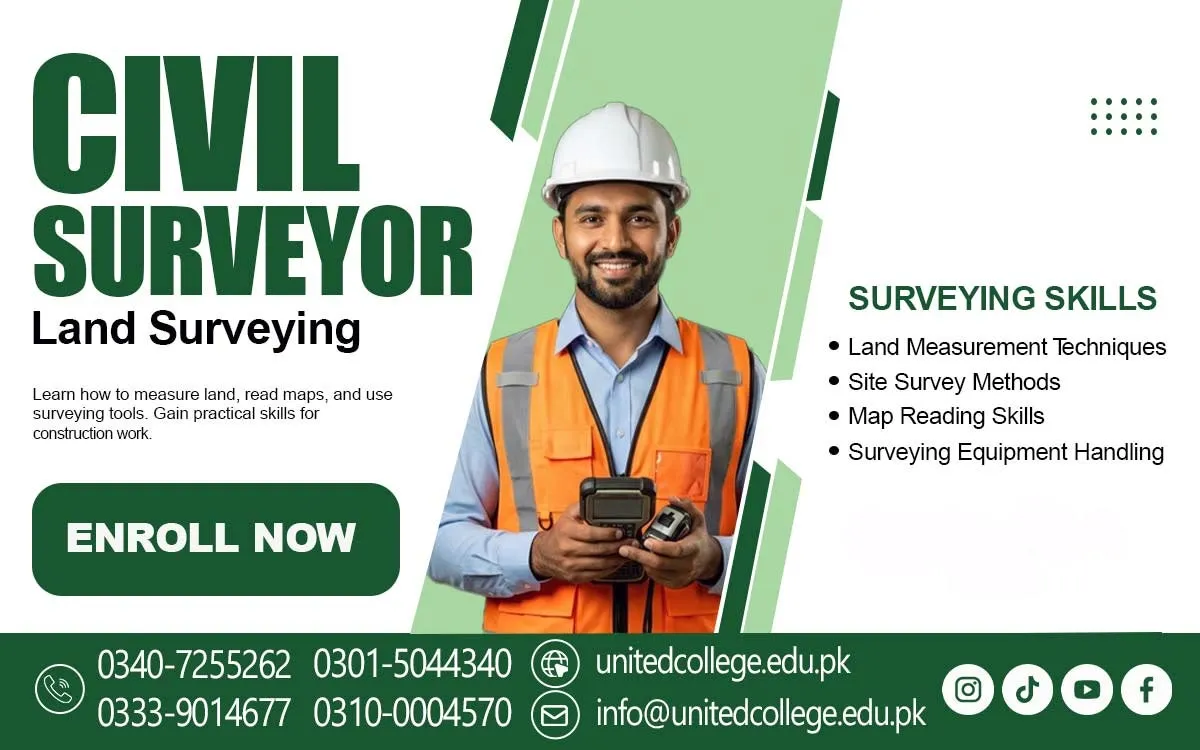

Civil Surveyor Course in Sawat – Build Practical Skills for the Future
Accurate Land Measurements Shape Every Successful Construction Project
Imagine a construction team preparing to build a house in Sawat. The foundation looks ready, the workers are waiting, and the materials have arrived. However, a small mistake in land measurement can shift the building layout, affect the foundation, or create problems during later construction stages. This is why accurate surveying is an important part of every construction project. A civil surveyor measures land, checks levels, identifies boundaries, and helps engineers follow the correct site dimensions. The Civil Surveyor Course in Sawat is a useful learning option for students who want to understand these technical responsibilities and develop practical surveying skills.
Civil surveying is not limited to measuring land with a tape; it also involves using modern instruments, reading site plans, understanding coordinates, and recording accurate measurements. Through civil surveying training in Sawat, beginners can learn how surveying supports houses, roads, commercial buildings, bridges, and other infrastructure projects. United College of Technology (UCT) offers training for learners interested in developing knowledge of this technical field. With proper guidance and practical learning, students can build a foundation in land surveying, construction measurements, and site-related work.
Civil Surveying Supports Construction and Infrastructure Development
Every construction project begins with planning, and accurate land information helps make that planning possible. Before a building is constructed, the site must be measured to understand its size, shape, elevation, and boundaries. Civil surveying provides this information so that engineers and construction teams can work according to the project requirements. In Sawat, where construction may involve houses, roads, commercial buildings, and development on uneven land, surveying plays an important role in checking ground conditions and site levels. A civil surveyor helps identify elevation differences, measure distances, and establish reference points for construction activities.
These measurements are useful for foundation placement, road alignment, drainage systems, and other engineering tasks. Students enrolled in the Civil Surveyor Course in Sawat can learn how land measurement connects to practical construction work. They can also understand basic civil engineering surveying concepts, including horizontal measurements, vertical levels, angles, and coordinates. For example, when a road is being developed on a sloping surface, survey measurements help the project team understand the ground level and plan the required alignment. This knowledge makes surveying an important technical field for people interested in construction, land development, and infrastructure projects.
Daily Responsibilities of a Civil Surveyor on Construction Sites
A civil surveyor has several responsibilities that help construction work follow the approved plans and measurements. At the beginning of a working day, a surveyor may check the site conditions, prepare surveying equipment, and review the drawings provided by the engineering team. The next task may involve measuring distances, checking ground elevations, identifying reference points, or marking specific positions for construction. For example, before workers start digging a building foundation, the surveyor may help mark the required corners and dimensions according to the site plan. During road construction, the surveyor may check alignment, levels, and measurement points to help the team maintain the planned direction.
Accurate record-keeping is another important responsibility because incorrect or missing measurements can create confusion during later stages. A construction site surveyor also communicates with engineers, supervisors, machine operators, and other workers to share measurement information. Students taking the Civil Surveyor Course in Sawat can develop an understanding of these daily duties through technical lessons and practical activities. They can learn that surveying requires concentration, patience, mathematical understanding, and responsible equipment handling. It is also important to follow site safety instructions, especially when working near heavy machinery, moving vehicles, excavations, or busy construction areas.
Practical Land Measurement and Levelling Skills for Beginners
Land measurement is one of the main skills in civil surveying. It involves calculating distances, measuring angles, checking boundaries, and understanding the shape and dimensions of a particular area. Beginners need to understand measurement units such as metres, centimetres, and millimetres because construction drawings often contain measurements in different units. Levelling is another important skill that helps determine the height difference between two or more points. For example, if a construction site has an uneven surface, the surveyor needs to check the existing ground levels before the project team can plan the required work. Students receiving land surveying training can learn about horizontal distance measurement, vertical measurement, angle observation, and basic calculations.
They can also become familiar with building layout and setting out, which means transferring measurements from a construction drawing onto the actual ground. A simple example is marking the correct position of a wall or foundation before construction begins. The Civil Surveyor Course in Sawat can help learners understand these activities through step-by-step explanations and practical exercises. Developing these practical surveying skills requires regular practice because accurate measurements depend on correct instrument positioning, careful observation, and proper recording of results. Beginners should also learn to double-check measurements rather than depending on a single reading.
Modern Surveying Instruments Used in Professional Fieldwork
Modern surveying depends on different instruments that help surveyors collect accurate information from construction sites and land areas. One commonly used instrument is the Total Station, which measures horizontal and vertical angles as well as distances. It can also help calculate coordinates for specific points. An auto level is another important instrument used to determine height differences between locations. For example, a surveyor may use an Auto Level to check whether the ground level is suitable for a building foundation or road surface. GPS and GNSS devices are used to identify geographical positions and collect location data, depending on the equipment and required accuracy.
Measuring tapes, tripods, staffs, prisms, and other surveying accessories also support fieldwork. Students interested in Total Station training and Auto Level surveying should understand that each instrument has a specific purpose and requires correct handling. During civil surveyor training in Sawat, learners can develop familiarity with these tools and understand their basic functions. They should also learn how to set up equipment on stable ground, check instrument levels, take readings, and record observations. Practical knowledge of surveying instruments is valuable because construction projects may require different measurement methods depending on the site, project size, and technical requirements.
Reading Construction Drawings, Coordinates,s and Site Plans
A civil surveyor must understand drawings and site plans because these documents provide important information about the proposed construction work. A drawing may show building dimensions, foundation positions, road alignment, boundary lines, elevations, and measurement references. Beginners sometimes find technical drawings difficult because they contain symbols, scales, numerical values, and engineering terms. However, learning to read these details becomes easier through regular practice and simple explanations. One important concept is coordinates, which help identify the position of a particular point on a site. Elevation refers to the height of a point compared with an established reference level. These details are important when marking construction locations or checking whether the actual site matches the approved design.
For example, if an engineer provides a building plan with specific foundation dimensions, the surveyor needs to understand the measurements before transferring them to the ground. The Civil Surveyor Course in Sawat can introduce students to these concepts and help them understand the relationship between drawings and field measurements. Learners can also become familiar with measurement scales, reference points, site layouts, and basic surveying calculations. This knowledge helps them communicate more clearly with engineers and understand the technical instructions given during construction activities.
Real Construction Examples That Explain Surveying Work
Surveying becomes easier to understand when learners connect classroom knowledge with real construction situations. Consider a house being constructed on a piece of land in Sawat. Before excavation begins, the construction team needs accurate measurements to identify the building corners and foundation positions. A surveyor helps mark these locations according to the approved plan. In road construction, surveying helps determine the route, check ground levels, and establish points for alignment. If the road passes through an uneven area, elevation measurements become particularly important for planning the required slope and surface levels. Land boundary measurement is another practical example.
When a property owner wants to identify the dimensions of a plot, surveying techniques can help collect the necessary measurements, although legal boundary confirmation may require an authorised professional and official records. Surveying is also useful in drainage projects, where correct levels help water flow in the planned direction. Through the Civil Surveyor Course in Sawat, students can explore these examples and understand how measurement techniques are used in different construction activities. They can learn that even a small error in setting out or levelling may affect later work. Practical examples help beginners recognise the importance of accuracy, proper calculations, and careful observation in professional surveying.
Field Practice:ce Accuracy and Safety in Surveying Activities
Reading about surveying instruments is useful, but students also need practical experience to understand their correct operation. Field practice allows learners to set up equipment, take measurements, identify reference points, and record readings under guidance. For example, a student practising with an Auto Level may learn to position the instrument correctly, focus the telescope, read the staff, and calculate the difference between ground levels. Similarly, practising with a Total Station can help learners understand instrument setup, angle measurement, distance measurement, and point collection. Accuracy is especially important because measurement errors can affect construction layouts and project progress.
Students should develop the habit of checking readings, maintaining clear field notes, and following instructions carefully. Teamwork is another essential part of surveying because field activities often involve communication between the instrument operator and the person holding the staff or prism. Safety must also remain a priority. Learners should wear suitable protective equipment, remain alert around vehicles and machinery, and avoid entering unsafe excavation areas. The Civil Surveyor Course in Sawat offered by United College of Technology (UCT) provides an opportunity for interested learners to develop their understanding of surveying methods and equipment.
Career Opportunities in Construction Land Development and Surveying
People with relevant training and practical experience may explore entry-level opportunities with construction companies, engineering contractors, land development projects, road construction teams, and surveying service providers. Some may work as surveying assistants or support experienced surveyors with measurements, instrument setup, field records, and site marking. With further education and experience, individuals may develop the skills required for more advanced surveying responsibilities. Knowledge of Total Station, Auto Level, GPS/GNSS equipment, construction drawings, and land measurement techniques can support professional development in this field.
However, employment opportunities depend on a person's practical ability, qualifications, experience, and the requirements of individual employers. Completing a training course alone does not guarantee a particular job or salary. Students should focus on building strong technical knowledge, improving mathematical understanding, practising with surveying instruments, and learning workplace safety procedures. The Civil Surveyor Course in Sawat can be a starting point for learners who want to explore construction surveying and related technical work. People interested in this profession should also understand that surveying responsibilities can vary between projects, and some specialised tasks require additional qualifications, supervised experience, or professional authorisation.
Building Technical Confidence Through Civil Surveyor Training at UCT
Beginners need clear explanations, practical guidance, and opportunities to understand how classroom concepts are applied in real working situations. United College of Technology (UCT) offers the Civil Surveyor Course in Sawat for learners interested in developing knowledge of land measurement, construction surveying, surveying instruments, and site-related activities. The course is relevant to students, fresh learners, and individuals who want to understand the technical side of construction projects. During their learning journey, students can focus on important topics such as levelling, distance measurement, site layout, construction drawings, coordinates, and equipment handling.
Understanding these areas can help learners become more familiar with the responsibilities of a civil surveyor and the requirements of fieldwork. Students should take an active approach to learning by practising calculations, asking questions, understanding instrument functions, and paying attention to measurement accuracy. Civil surveying requires both technical understanding and practical skills, so consistent effort is important. For learners in Sawat who are interested in construction, infrastructure, and land development, civil surveying training can provide a useful opportunity to explore this technical profession and work towards developing relevant skills for future learning and professional growth.
Frequently Asked Questions (FAQs)
A Civil Surveyor Course teaches students how to measure land, check elevations, read construction drawings, and use surveying instruments on construction sites.
Students, beginners, fresh learners, and individuals interested in construction and land surveying can consider joining this course.
Students learn land measurement, levelling, distance and angle measurement, site layout, setting out, and basic surveying calculations.
Common instruments include Total Station, Auto Level, GPS/GNSS devices, measuring tapes, tripods, staffs, and prisms.
Yes, practical training helps students understand equipment handling, field measurements, instrument setup, and accurate recording of survey results.
Admission Open: Start Your Professional Journey Today!
Join United College of Technology and build a career with practical training, recognized certifications, and Gulf job support. Seats are limited.
Apply Now via WhatsAppContact Information
- Address: Rawalpindi: F-272 Main New Katarian Stop, Old IJP Road | Lahore Campus: Lahore, Pakistan
- Phone/WhatsApp: 0340-7255262 / 0333-9014677 / 0301-5044340 / 0310-0004570 / 051-8770756
- Website: unitedcollege.edu.pk
















Leave a Comment