


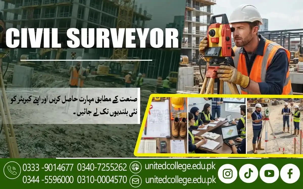

Civil Surveyor Course in Bhakkar for Advanced Measurement Methods
Understanding Advanced Methods of Site Measurement
Site measurement is one of the main activities performed during civil surveying. It provides information about the size, shape, position, and physical features of a particular area. Accurate measurements are important for preparing construction plans and making reliable decisions about a project.
The Civil Surveyor Course in Bhakkar introduces learners to different methods used for measuring construction sites and land areas. Students can understand how surveyors collect measurements, establish reference points, and check their observations during fieldwork.
Advanced measurement methods can help surveyors handle different types of sites more effectively. Learners can develop an understanding of how careful measurements contribute to better planning, positioning, and development of construction projects.
Exploring Modern Techniques in Civil Surveying
Civil surveying continues to use improved techniques for collecting and managing site information. Modern approaches can make surveying activities more organized and help professionals obtain detailed information about different locations.
Students can explore various surveying techniques and understand their practical purpose. The Civil Surveyor Course in Bhakkar helps learners become familiar with methods used to observe land, record measurements, and prepare information for civil projects.
Learning modern surveying approaches can also help students understand how traditional fieldwork connects with newer technical methods. This knowledge can be useful when working on different types of construction and development assignments.
Learning How Survey Instruments Are Operated
Survey instruments are essential tools for collecting accurate information from a site. Different equipment can be used to measure distances, levels, angles, positions, and other details required for construction and land development.
During the course, learners can study the basic operation and purpose of surveying instruments. They can understand how equipment is prepared, positioned, and used while carrying out field measurements.
Correct instrument handling is important because inaccurate setup can affect the final survey results. Students can develop careful working habits and learn why equipment should be checked and operated according to proper procedures.
Studying Accurate Level and Distance Calculations
Level and distance calculations provide important information about the relationship between different points on a site. These measurements can help determine elevations, slopes, positions, and dimensions required for construction activities.
The Civil Surveyor Course in Bhakkar gives learners an opportunity to understand the basic principles behind these calculations. Students can study how field readings are collected and how measurements are organized for further use.
Accurate calculations are particularly important for foundations, roads, drainage systems, and other civil structures. A better understanding of measurements allows learners to recognize how surveying information contributes to construction accuracy.
Understanding Field Data Collection Processes
Field data collection involves gathering measurements, observations, locations, and other information directly from a site. Surveyors need to follow an organized process to make sure that the collected information is reliable and useful.
Students can learn how field information is gathered and recorded during surveying activities. They can understand the importance of selecting suitable reference points, taking careful readings, and maintaining clear records.
Proper data collection can make later planning and analysis easier. When field information is complete and organized, engineers and other project professionals can use it more effectively during construction planning.
Preparing Survey Information for Construction Work
Construction teams require accurate site information before beginning many types of development work. Surveyors provide measurements and observations that can help determine locations, boundaries, levels, and other important project details.
Through the Civil Surveyor Course in Bhakkar, learners can understand how survey information is prepared for construction use. They can learn how field measurements are organized and communicated to other members of a project team.
Clear survey information can support better planning and reduce confusion during construction. It also allows professionals to compare actual site conditions with planned layouts and make informed technical decisions.
Examining Site Conditions Through Survey Analysis
Survey analysis helps professionals understand the information collected from a particular site. It can involve reviewing measurements, identifying important features, and examining the conditions that may affect construction or development.
Learners can understand how survey findings are reviewed to create a clearer picture of a site. They can study the relationship between measurements, existing features, levels, boundaries, and planned development.
Site analysis is especially useful when a location has uneven land, existing structures, or other physical conditions. Understanding these factors helps project teams prepare more suitable plans and avoid unnecessary difficulties.
Developing Professional Readiness for Survey Projects
Civil surveying requires more than technical measurements. Professionals need accuracy, observation, documentation, equipment knowledge, and the ability to work according to project requirements.
The Civil Surveyor Course in Bhakkar provides learners with knowledge related to site measurement, surveying techniques, instruments, calculations, field data, and construction applications. These topics can help students understand the responsibilities involved in survey projects.
With continued practice and practical experience, learners can explore opportunities in construction companies, surveying firms, land development, infrastructure projects, and other civil works. A strong technical foundation can help them approach professional assignments with greater confidence.
Frequently Asked Questions (FAQs)
It is a professional course covering site measurement, surveying techniques, instruments, calculations, field data collection, and construction-related survey work.
Students can become familiar with instruments used for measuring distances, levels, angles, positions, and other site information.
Accurate measurements help construction teams prepare reliable layouts, determine positions, and make better decisions during project development.
Yes, learners can study methods for collecting, recording, checking, and organizing information gathered during site surveys.
It can be applied in construction projects, land development, infrastructure work, property projects, and other civil engineering activities.
Admission Open: Start Your Professional Journey Today!
Join United College of Technology and build a career with practical training, recognized certifications, and Gulf job support. Seats are limited.
Apply Now via WhatsAppContact Information
- Address: Rawalpindi: F-272 Main New Katarian Stop, Old IJP Road | Lahore Campus: Lahore, Pakistan
- Phone/WhatsApp: 0340-7255262 / 0333-9014677 / 0301-5044340 / 0310-0004570 / 051-8770756
- Website: unitedcollege.edu.pk
















Leave a Comment