


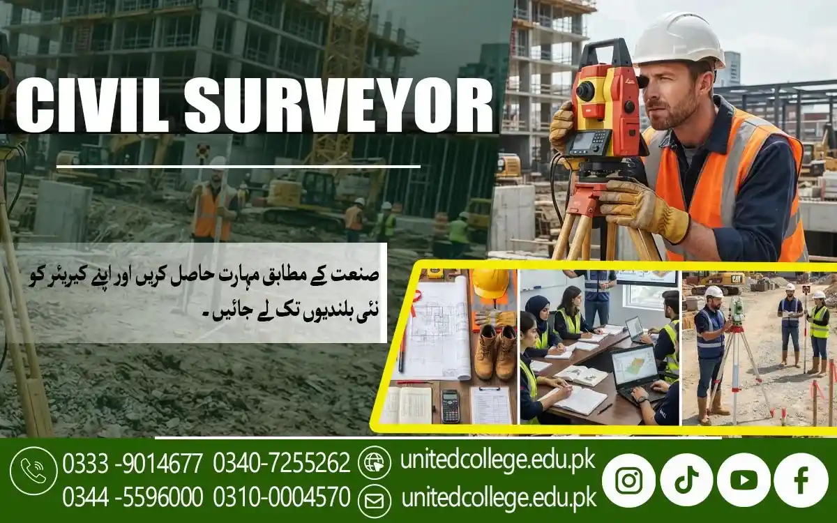

Civil Surveyor Course in Khanewal – Learn Practical Skills
When Accurate Measurements Become the Foundation of Good Construction
A building, road, boundary, or other construction project cannot begin properly without knowing the land and its exact measurements. Even a small mistake in distance, level, angle, or elevation can create problems later when walls are marked, foundations are prepared, or different parts of a project need to connect correctly. This is why civil surveying plays an important role in construction and land-related work. A person working in surveying needs to understand how to collect measurements, use suitable instruments, record field information, and check whether the results are reliable. The Civil Surveyor Course in Khanewal is designed around these practical areas so beginners can gradually understand how surveying works in real situations.
Instead of treating surveying as only a collection of formulas, learners can explore how measurements are taken on actual sites and how those measurements support construction decisions. Civil surveying can involve land measurement, site surveying, construction surveying, leveling, distance and angle measurement, and the preparation of useful site information. For a beginner, learning these skills step by step can make technical concepts easier to understand and can build confidence before moving toward more demanding surveying tasks.
Learning to Read Land Before Construction Work Begins
Before construction starts, someone needs to understand what is actually present on the ground. A site may look simple from a distance, but its boundaries, slopes, elevations, existing structures, roads, drainage paths, and other physical features can affect how work is planned. Land surveying helps turn these physical conditions into measurements and useful information that construction teams can understand. During surveying training, learners can become familiar with the process of measuring distances, identifying reference points, recording observations, and understanding how different measurements relate to one another. For example, if a construction team needs to prepare a building site, the surveyor may need to identify the required points and establish measurements that help guide the layout. Similarly, land measurement may be needed to understand the size and shape of an area before further planning takes place.
Through a Civil Surveyor Course in Khanewal, beginners can learn why careful observation is important before making measurements and why surveyors should not simply record numbers without understanding the site. This approach introduces learners to practical surveying in a way that connects classroom knowledge with the physical environment. As their understanding improves, they can begin to see how accurate field information becomes an important part of civil engineering surveying and construction planning.
Getting Comfortable With Levels, Elevations, and Reference Points
A difference in height that looks small to an untrained eye can have a major effect on construction work. Floors, foundations, roads, drainage systems, and other structures often depend on correct levels and elevations, which is why leveling is an important part of surveying. Learners need to understand concepts such as benchmarks, reference points, reduced levels, height differences, and elevation measurements without becoming confused by technical language. Practical surveying training can make these ideas easier because students can see how a level is established and how measurements are taken from one point to another.
An auto level, for example, can be used to help determine differences in elevation when it is correctly set up and operated. The important point for beginners is not only learning how an instrument works but also understanding why the measurement is being taken and how the result can be checked. In a Civil Surveyor Course in Khanewal, learners can develop an understanding of leveling and measurement through practical examples and field procedures. They can learn how reference points provide consistency during a survey and why careful setup, observation, recording, and calculation all matter. With regular practice, concepts that initially seem technical can become easier to follow, especially when learners connect calculations with actual points and levels on the ground.
Understanding Surveying Instruments Through Hands-On Practice
Knowing the names of surveying instruments is very different from knowing how to use them correctly. A beginner may recognize a total station, theodolite, or auto level in a picture, but practical learning helps explain how these instruments are positioned, adjusted, observed, and used for field measurements. Surveying instruments are designed to help professionals collect accurate information about distances, angles, elevations, and positions, so learners need to understand both their purpose and their proper handling. A theodolite, for instance, is associated with measuring horizontal and vertical angles, while a total station combines electronic measurement and surveying functions to collect useful site data.
An auto level is commonly used for leveling work and determining differences in elevation. During a civil surveyor course, students can gradually become familiar with these tools instead of trying to understand everything at once. Practical sessions can also help learners recognize the importance of instrument setup, stable positioning, correct observations, and careful recording. The Civil Surveyor Course in Khanewal can provide an opportunity for beginners to connect surveying theory with equipment-based practice. This is particularly useful because surveying is a field where confidence develops through repeated handling of instruments, observing actual measurements, checking results, and learning from mistakes rather than relying only on written explanations.
Turning Distances and Angles Into Useful Site Information
A survey is not simply about collecting a large number of measurements. The real value comes from understanding what those measurements mean and how they can be used to describe a site accurately. Distance and angle measurement form an important part of many surveying techniques because they help establish the position and relationship of different points. Learners may work with horizontal distances, vertical differences, angles, coordinates, and other measurements depending on the type of survey being carried out. They also need to develop basic measurement and calculation skills so that field observations can be recorded and checked properly. For example, when a surveyor is collecting information for a construction site survey, the measurements may later help establish building positions, road alignments, boundaries, or other site features.
A mistake in recording a value can affect later calculations, which is why surveyors need to work carefully from the beginning. Through practical surveying, learners can understand how field notes, measurements, calculations, and observations work together instead of seeing them as separate topics. A Civil Surveyor Course in Khanewal can help students develop this connection by introducing measurement procedures alongside practical examples. With continued practice, learners can become more comfortable with handling field data and understanding why accuracy matters at every stage of a survey.
Practicing Site Layout Where Measurements Meet Construction
Once a site has been measured, those measurements can become useful for setting out construction work. Site layout is an area where surveying knowledge directly connects with what workers need to do on the ground. Before walls, columns, foundations, roads, or other features are constructed, their positions may need to be marked according to the project plan. This requires careful measurement and a clear understanding of reference points, dimensions, angles, and site drawings. Beginners can find this part of surveying particularly interesting because they can see how information from plans is transferred to the physical site. Construction surveying may involve establishing points, checking distances, confirming alignment, and helping ensure that planned positions are correctly represented on the ground.
Learners also need to understand that different projects may have different requirements, so a surveyor should carefully follow the available drawings, specifications, and site instructions. During a Civil Surveyor Course in Khanewal, practical exercises can help learners understand the relationship between surveying calculations and actual construction layout. They can become familiar with procedures used for site measurement and learn why surveyors should check their work rather than assuming that the first measurement is automatically correct. This practical understanding can be useful for anyone interested in construction surveying or civil engineering surveying.
Exploring Land, Topographic, and Construction Surveys
Not every survey is carried out for the same purpose. Land surveying may focus on boundaries, dimensions, and the physical characteristics of a particular area, while topographic surveying can record natural and man-made features such as slopes, roads, buildings, and elevation changes. Construction surveying, on the other hand, is closely connected with preparing and controlling measurements needed during construction activities. Understanding these differences can help beginners see that surveying is a broad field rather than one single task. A learner may eventually encounter surveys related to buildings, roads, infrastructure, land development, drainage, or other civil projects. Each situation can require different observations, equipment, calculations, and field procedures.
A good surveying course should therefore encourage learners to understand the purpose behind each measurement instead of memorizing technical terms without context. The Civil Surveyor Course in Khanewal can introduce students to different surveying environments and help them understand how practical techniques change according to project requirements. Learners can also become familiar with ideas such as site surveying, construction site surveys, land measurement, topographic information, and basic digital surveying practices. This wider understanding can help beginners recognize where different surveyor skills fit within the broader construction and civil engineering environment.
Checking Errors Before They Become Construction Problems
Accuracy in surveying does not come from simply using advanced equipment. Even modern instruments can produce unreliable results if they are poorly positioned, incorrectly adjusted, misunderstood, or used without proper checking. Human errors can also occur while reading measurements, recording field notes, entering data, or performing calculations. For this reason, error checking is an important part of practical surveying. Learners should understand that checking does not mean expecting every measurement to be perfect; instead, it means developing a habit of reviewing observations and looking for possible mistakes before the information is used for another task. For example, a surveyor may compare measurements, check calculations, verify reference points, or repeat an observation when something does not appear reasonable.
This careful approach can be especially important on construction sites, where inaccurate information may create confusion for other workers. During a Civil Surveyor Course in Khanewal, learners can develop awareness of common measurement problems and learn why organized field notes and careful calculations matter. They can also become more familiar with the importance of precision, consistency, instrument handling, and proper surveying techniques. These habits are valuable because a responsible surveyor does not simply produce numbers; they work toward providing dependable information that other people can use with confidence.
Building Practical Surveyor Skills for Real Work Environments
Learning surveying becomes more meaningful when students can see how their skills may be used beyond the classroom. A person interested in this field may eventually work around construction sites, land development projects, road work, infrastructure projects, or other environments where measurements and site information are needed. However, practical ability develops gradually. Learners need time to become comfortable with surveying instruments, fieldwork, calculations, site layouts, technical information, and communication with other members of a project team. They may also need to understand basic workplace safety because surveying often involves outdoor environments, uneven ground, moving vehicles, construction activity, and changing site conditions.
United College of Technology can be part of this learning journey by providing students with an educational setting where they can explore civil surveying concepts and practical skills. The Civil Surveyor Course in Khanewal can help beginners build a foundation in land surveying, construction surveying, leveling, measurement, instruments, field calculations, and site surveying while gradually developing confidence in practical tasks. These skills do not automatically guarantee employment, but they can provide useful preparation for people who want to explore surveying-related work. With continued learning and field experience, students can better understand their strengths, improve their technical abilities, and make more informed decisions about their future direction in civil surveying and construction.
Frequently Asked Questions (FAQs)
A Civil Surveyor Course in Khanewal teaches learners practical skills related to land measurement, leveling, site surveying, construction layout, surveying instruments, and fieldwork.
Students, beginners, school or college graduates, and individuals interested in construction and surveying can consider joining a civil surveyor course.
The training can cover land surveying, distance and angle measurement, leveling, elevation, site layout, surveying calculations, construction surveying, and field procedures.
Learners can become familiar with instruments such as total stations, theodolites, auto levels, measuring tapes, and other commonly used surveying equipment.
Practical surveying helps learners understand how instruments are handled, measurements are collected, calculations are performed, and site information is checked in real situations.
Admission Open: Start Your Professional Journey Today!
Join United College of Technology and build a career with practical training, recognized certifications, and Gulf job support. Seats are limited.
Apply Now via WhatsAppContact Information
- Address: Rawalpindi: F-272 Main New Katarian Stop, Old IJP Road | Lahore Campus: Lahore, Pakistan
- Phone/WhatsApp: 0340-7255262 / 0333-9014677 / 0301-5044340 / 0310-0004570 / 051-8770756
- Website: unitedcollege.edu.pk
















Leave a Comment