


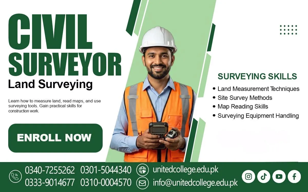

Civil Surveyor Course in Kohat – Gain Practical Construction Surveying Skills
Accurate Land Measurements for Successful Construction Projects
A construction project can face serious problems even before the first brick is placed if the land is not measured correctly. Imagine a team preparing the foundation of a new building, but the site measurements are inaccurate. The foundation may be marked in the wrong position, building dimensions may not match the approved plan, and workers may have to repeat important tasks. Such mistakes can waste time, materials, and money. This is where civil surveyors play an important role. They measure land, identify boundaries, check levels, and help construction teams follow the correct dimensions. The Civil Surveyor Course in Kohat is a useful learning option for students and beginners who want to understand this important field.
Civil surveying connects technical knowledge with practical construction activities, allowing learners to understand how accurate measurements support building projects, roads, bridges, and other developments. These skills help them understand the early stages of construction and the importance of following accurate measurements. A civil surveyor does not simply take measurements; the professional also records information, checks details, and communicates findings to engineers and construction teams. Learning these responsibilities can give beginners a clearer understanding of the construction industry and the technical skills required to work on different types of projects.
The Growing Importance of Civil Surveyors in Modern Development
Civil surveyors contribute to many types of construction and development projects, making the Civil Surveyor Course a valuable learning option for individuals interested in this field. Before a building is constructed, the land must be examined to understand its size, shape, elevation, and boundaries. Engineers use this information to prepare suitable plans and make decisions about the project. In road construction, surveyors help identify routes, measure distances, check ground levels, and mark important points along the proposed road. Bridge construction also requires accurate surveying because the position, height, and alignment of different structural elements must be carefully checked.
A trained surveyor works with engineers, site supervisors, contractors, and other technical staff to provide useful measurement information. For example, if a road project passes through uneven land, surveyors help collect elevation information so the engineering team can understand the ground conditions. Their work supports better planning and reduces the possibility of avoidable measurement errors. Students interested in construction can develop valuable technical knowledge by understanding these responsibilities. Civil surveying is not limited to one type of project; its methods are used in residential buildings, commercial developments, highways, drainage systems, and infrastructure work.
Practical Learning Through Civil Surveyor Training in Kohat
The Civil Surveyor Course in Kohat introduces learners to the practical and technical activities involved in land and construction surveying. It is suitable for beginners who want to build an understanding of surveying without needing advanced knowledge of civil engineering at the beginning. During a Civil Surveying Course, students can learn how measurements are collected, recorded, checked, and used for construction planning. The learning process may cover basic surveying calculations, distance measurement, levelling, angle measurement, and site layout. These topics help learners understand the connection between classroom knowledge and actual fieldwork.
For example, a student may learn how to measure the length and width of a plot before understanding how those measurements are used to prepare a site plan. Similarly, learning about ground levels helps explain why construction teams need to check whether a surface is suitable for a building foundation or road alignment. United College of Technology (UCT) offers technical training for students interested in developing practical skills in different professional fields. Through Civil Surveyor Training in Kohat, beginners can explore the responsibilities and working methods associated with surveying. They can also become familiar with common instruments and technical terms used on construction sites.
Essential Measurement and Levelling Skills for Surveyors
Accurate measurement is one of the most important abilities a civil surveyor needs to develop, and the Civil Surveyor Course helps learners understand these essential technical skills. A surveyor must understand how to measure distances, calculate dimensions, identify angles, and check elevation differences across a site. Distance measurement is commonly used to determine the length and width of land, the position of boundaries, and the spacing between construction points. Angle measurement helps establish directions and alignments, especially during road construction and building layout activities. Another important skill is Levelling in Surveying, which involves determining the height difference between different points on the ground.
Students also learn the importance of recording measurements properly because incorrect or incomplete notes can create confusion during later construction activities. Basic calculations, unit conversions, field notes, and checking measurement results are useful parts of civil surveying. Construction Site Layout is another important area because it involves transferring positions and dimensions from engineering drawings onto the actual ground. For example, a surveyor may help mark foundation corners, column positions, or road boundaries according to the approved plan. These activities require concentration, patience, and a clear understanding of measurement methods.
Modern Surveying Instruments Used on Construction Sites
Modern construction projects use different surveying instruments to collect accurate information about land and structures. Beginners taking a Surveyor Course in Kohat should become familiar with the purpose and basic operation of these tools. A measuring tape is commonly used for simple distance measurements, while ranging rods help identify straight lines and mark specific points during fieldwork. An automatic level, also known as an auto level, is used to compare ground elevations and check level differences. The instrument is particularly useful when preparing building foundations, road surfaces, and other construction areas. A theodolite is designed to measure horizontal and vertical angles, helping surveyors establish directions and alignments.
Learning its basic functions is an important part of Total Station Training. GPS/GNSS equipment is also used in modern surveying to determine positions through satellite signals, although its accuracy depends on the equipment, method, surroundings, and correction services available. Students should understand that every instrument has a specific purpose and requires proper handling. For example, a total station must be positioned carefully and set up correctly before measurements are taken. Similarly, an automatic level needs stable placement and proper adjustment to produce reliable readings. Practical knowledge of Surveying Instruments helps learners understand the tools used by professional surveyors and the importance of checking equipment before beginning field activities.
Reading Engineering Drawings and Using AutoCAD
A civil surveyor must understand more than measurements because construction work is usually completed according to technical drawings and project plans. These drawings provide information about dimensions, positions, levels, boundaries, and the arrangement of different construction elements. Beginners need to develop the ability to read simple construction drawings and identify important details such as building dimensions, foundation positions, road alignments, and site boundaries. Understanding symbols, scales, measurement units, and reference points makes it easier to connect a drawing with actual site conditions. AutoCAD for Civil Surveyors is another useful learning area because this software is commonly used to prepare and edit technical drawings.
For example, a surveyor may collect field measurements and use the information to support the preparation of a land plan or site drawing. However, learners should understand that AutoCAD does not replace field surveying. Accurate drawings depend on reliable measurements and correct technical information. Students should also learn how to compare site measurements with construction drawings and report differences to the relevant engineer or supervisor. This ability is important because a drawing may show the planned position of a building, while actual site conditions may require further checking. Combining surveying knowledge with basic computer skills helps learners understand modern engineering workflows and improves their ability to communicate technical information clearly.
Fieldwork Experience and Construction Site Surveying
During Civil Surveyor Course practical training, beginners can become familiar with setting up equipment, measuring distances, identifying reference points, and recording field observations. For example, learners may practise measuring a small plot using a measuring tape and ranging rods before moving towards more advanced instruments. They can also learn how to set up an automatic level, take staff readings, and calculate the difference in elevation between selected points. These exercises help students understand how surveying information is collected and used during construction activities.
In road surveying, learners can understand how points are marked along a proposed route and how changes in ground elevation are recorded. Preparing survey notes is equally important because field measurements must be organised and easy for other technical team members to understand. Students should also learn to repeat important measurements when results appear unusual instead of relying on uncertain readings. This practical approach develops observation, patience, and accuracy. With suitable guidance and regular exercises, beginners can gradually become more comfortable with the instruments, calculations, and field procedures used in professional site surveying.
Professional Responsibilities and Workplace Safety
A civil surveyor has several responsibilities on a construction site, and accurate measurement is only one part of the job. Surveyors may be required to collect site information, mark construction points, check elevations, maintain measurement records, and share technical details with engineers and supervisors. They must follow project drawings and approved instructions while making sure that their observations are recorded clearly. Accuracy is especially important when working on foundation positions, road alignments, building boundaries, and structural levels. Even a small error can affect later construction activities, so measurements should be checked carefully. Communication is another important professional skill.
For example, if the actual site conditions do not match the information shown in a drawing, the surveyor should report the difference to the responsible engineer rather than making independent design changes. Teamwork also matters because surveying activities often involve assistants, site supervisors, contractors, and engineering professionals. Workplace safety must remain a priority during fieldwork. Construction sites may contain moving machinery, excavation areas, electrical equipment, uneven surfaces, and vehicles. Surveyors should wear suitable personal protective equipment, including safety helmets, high-visibility clothing, and safety footwear where required. They should also remain aware of site instructions and avoid standing in unsafe working areas while taking measurements.
Career Opportunities in Construction and Land Surveying
Learning civil surveying can introduce students to different technical work areas connected with construction and infrastructure development. People who develop relevant skills and gain practical experience may explore entry-level opportunities with construction companies, engineering firms, road development projects, property development organisations, and surveying service providers. Some may work as surveying assistants under the supervision of experienced surveyors, while others may gradually develop the skills required for more responsible field positions. Common work activities can include measuring land, assisting with site layouts, checking elevations, recording field information, and supporting construction teams.
Knowledge of total stations, auto level surveying, GPS equipment, and AutoCAD may also be useful, depending on the requirements of a particular employer or project. However, career opportunities depend on practical ability, experience, qualifications, employer requirements, and the availability of suitable work. Completing a course alone does not guarantee employment or a specific salary. Students should continue improving their technical knowledge, calculation skills, communication, and understanding of construction drawings. The Civil Surveyor Course in Kohat at United College of Technology (UCT) can provide beginners with an opportunity to explore surveying concepts and develop a foundation for further learning.
Frequently Asked Questions (FAQs)
The Civil Surveyor Course in Kohat teaches students land measurement, levelling, site surveying, construction layout, and the use of surveying instruments.
Students, beginners, fresh learners, and individuals interested in construction and civil engineering can consider joining this course.
Students learn distance measurement, angle measurement, levelling, land surveying, site layout, fieldwork, and basic surveying calculations.
Common instruments include total stations, theodolites, automatic levels, measuring tapes, GPS/GNSS equipment, and ranging rods.
Basic AutoCAD knowledge is useful for civil surveyors because it helps them understand technical drawings, site plans, dimensions, and construction layouts.
Admission Open: Start Your Professional Journey Today!
Join United College of Technology and build a career with practical training, recognized certifications, and Gulf job support. Seats are limited.
Apply Now via WhatsAppContact Information
- Address: Rawalpindi: F-272 Main New Katarian Stop, Old IJP Road | Lahore Campus: Lahore, Pakistan
- Phone/WhatsApp: 0340-7255262 / 0333-9014677 / 0301-5044340 / 0310-0004570 / 051-8770756
- Website: unitedcollege.edu.pk
















Leave a Comment