


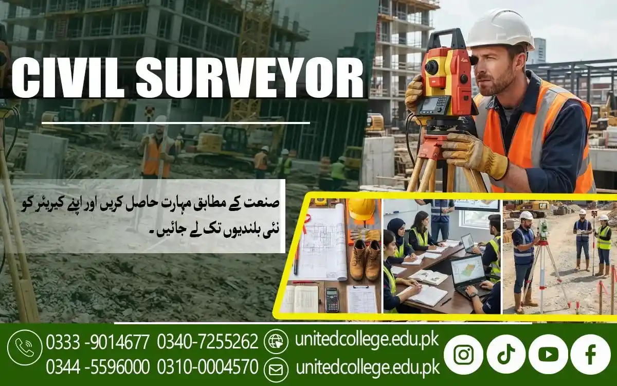

Civil Surveyor Course in Mandi Bahauddin – Shape Your Technical Career
Turn Land Measurements Into Practical Construction Skills
A building does not begin with bricks or concrete. It begins with understanding the ground beneath it. Before construction starts, professionals need reliable information about distances, levels, boundaries, and the shape of the land.
This makes civil surveying an important part of construction and land development. The Civil Surveyor Course in Mandi Bahauddin gives beginners a chance to learn how surveyors collect, check, and use site information. It can help students, new learners, job seekers, and anyone interested in practical construction skills.
Read the Land Before Construction Changes It
Civil surveying helps professionals understand the physical features of a particular area. A surveyor studies the land and collects measurements that can later support planning and construction activities. Civil Surveyor Course in Mandi Bahauddin can help beginners understand how land surveying may involve checking distances, angles, elevations, boundaries, and ground levels.
These details create a clearer picture of the site before physical work begins. For beginners, this field offers a practical combination of outdoor work, technical knowledge, observation, and basic calculations. Instead of looking at land as simply an open space, learners begin to understand how its features can affect construction planning.
Discover How a Surveyor Connects the Site With the Plan
A civil surveyor helps turn information from the ground into useful technical data. Their work may include measuring locations, establishing points, checking levels, recording observations, and supporting site layout activities. Construction surveying becomes especially important when a planned structure needs to be positioned correctly.
Survey information can help teams understand where particular points or features should be located according to a project plan. A surveyor may also work alongside engineers, supervisors, and construction workers. Clear communication and accurate records help different members of a project understand the information collected from the site.
Master the Measurements Behind Every Accurate Site
Measurement is at the heart of surveying. Learners need to understand how distances, angles, levels, and elevations relate to one another during fieldwork. Leveling techniques help identify differences in height between points. Elevation information can be useful when studying slopes or deciding how different parts of a site relate vertically.
Students can also explore contour concepts, which help represent changes in land height. When these ideas are combined with land measurement techniques, learners can develop a clearer understanding of the terrain they are studying. The Civil Surveyor Course in Mandi Bahauddin can introduce these fundamentals in a way that makes technical concepts easier for new learners to understand.
Explore the Equipment That Brings Measurements to Life
Modern surveying depends on instruments designed for different measurement tasks. Learning about these tools is an important part of developing practical surveying skills. A Civil Surveyor Course in Mandi Bahauddin introduces learners to essential surveying equipment and their practical uses. A total station can be used to measure angles and distances while collecting positional information.
Simple measuring tools also have a place in fieldwork. However, knowing an instrument is not enough. Learners need to understand how it is set up, how readings are taken, and how collected information should be handled. This knowledge can help beginners become more comfortable with surveying equipment and understand why different tools are selected for different tasks.
Learn How Small Errors Can Affect Large Construction Decisions
Accuracy matters because construction activities often depend on measurements taken during surveying. An incorrect reading or poorly marked point can create confusion during later stages of work. Errors may occur for different reasons. Equipment may not be positioned correctly, a reading may be recorded incorrectly, or a measurement may be affected by site conditions.
Learning to identify possible mistakes helps students develop a more careful approach. They can practice checking readings, reviewing field notes, and comparing information where appropriate. The goal is not simply to avoid every possible error. It is to develop a professional habit of questioning measurements and checking important information before it is used.
Build Practical Knowledge Through Realistic Site Learning
Surveying is easier to understand when learners can connect theory with practical activity. Hands-on learning gives students a chance to see how instruments, measurements, plans, and site conditions work together. At United College of Technology, learners interested in the Civil Surveyor Course in Mandi Bahauddin can develop their understanding of surveying through practical learning and instructor guidance.
Students can gradually learn how to approach a site, understand measurements, use surveying instruments, organize field data, and follow basic surveying procedures. This type of learning can be especially useful for people who prefer practical tasks and want to understand how civil engineering surveying connects with real construction environments.
Connect Surveying Skills With the Wider World of Civil Construction
Civil surveying supports many activities connected with buildings, roads, land development, and construction projects. The survey information collected from a site can help other professionals understand physical conditions before making technical decisions. Site layout is one example. Accurate points and measurements can help translate information from drawings or plans into locations on the actual ground.
Basic mapping and plotting can also help represent land features in a clearer form. These tasks show how surveying combines field observations with technical information. For learners in Mandi Bahauddin, developing this knowledge can provide a useful understanding of the practical side of the construction industry. It can also create a foundation for continued learning in surveying and related technical areas.
Give Your Technical Goals a Practical Starting Point
Civil surveying brings together measurement, observation, equipment, calculations, drawings, and fieldwork. Each part plays a different role, yet they work together to create reliable information about land and construction sites. For beginners, students, and fresh learners, the Civil Surveyor Course in Mandi Bahauddin can provide a structured way to explore these skills. It can help learners understand how surveyors work with land information and how their work supports broader construction activities.
United College of Technology offers an opportunity for interested learners to develop practical surveying knowledge while becoming familiar with the tools and methods used in the field. With regular practice and careful learning, students can gradually strengthen their technical abilities. If you are interested in construction, land measurement, or field-based technical work, learning civil surveying can be a practical step toward expanding your skills and understanding of the built environment.
Frequently Asked Questions (FAQs)
Land surveying mainly focuses on understanding land features, positions, and boundaries. Construction surveying applies measurement knowledge to support the positioning and layout of planned structures.
Knowing the site conditions helps a surveyor select a suitable approach for the work. Ground shape, accessibility, existing objects, and other conditions can influence how a survey is carried out.
Setting out means transferring planned positions from drawings or designs onto the actual construction site. It helps identify where specific parts of a project should be located.
Boundaries help identify the limits of a particular piece of land. Surveyors may collect and organize location information to represent these limits accurately according to the requirements of the survey.
Yes. Surveying can provide information about ground levels, alignment, distances, and terrain, which may be useful when studying or planning road construction work.
Surveying combines outdoor activity with instruments, measurements, drawings, observation, and technical decision-making. This combination allows learners to apply classroom knowledge to physical sites.
Admission Open: Start Your Professional Journey Today!
Join United College of Technology and build a career with practical training, recognized certifications, and Gulf job support. Seats are limited.
Apply Now via WhatsAppContact Information
- Address: Rawalpindi: F-272 Main New Katarian Stop, Old IJP Road | Lahore Campus: Lahore, Pakistan
- Phone/WhatsApp: 0340-7255262 / 0333-9014677 / 0301-5044340 / 0310-0004570 / 051-8770756
- Website: unitedcollege.edu.pk
















Leave a Comment