


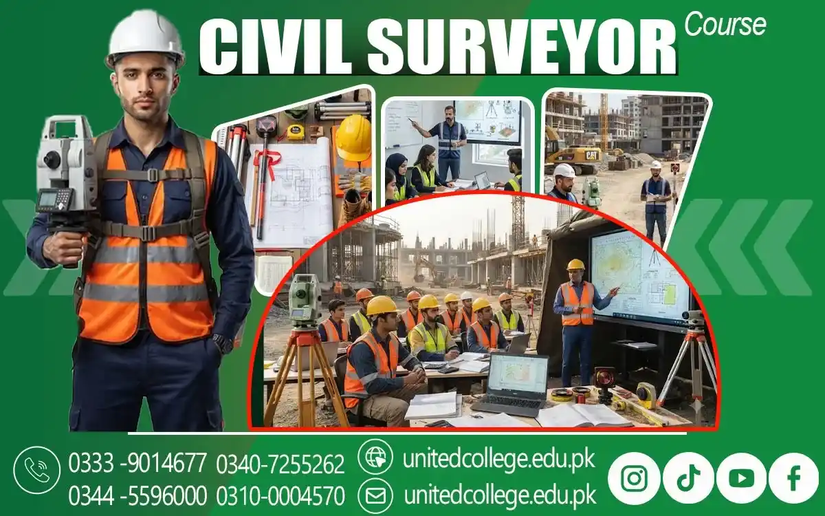

Civil Surveyor Course in Pakpattan for Building and Site Planning
Understanding Building and Site Survey Concepts
Building and site surveys provide important information about a location before construction or development begins. Surveyors examine the site, take measurements, identify important points, and collect details that can be used during planning.
The Civil Surveyor Course in Pakpattan introduces learners to the basic concepts behind building and site surveys. Students can understand how surveying information supports engineers, architects, contractors, and other professionals working on construction projects.
A proper survey can help identify site conditions and provide reliable measurements for planning. Learning these concepts gives students a foundation for understanding how surveyors contribute to different stages of a construction project.
Exploring Methods Used for Site Planning
Site planning involves deciding how buildings, roads, open areas, utilities, and other elements will be positioned within a particular area. Accurate survey information is required to understand the available space and existing site conditions.
Students can learn about methods used to collect and organize information for site planning. They can understand how boundaries, measurements, reference points, and existing features are considered when preparing a site for development.
Good planning can help construction teams use available land more effectively. Surveyors provide important information that allows other professionals to make decisions based on actual site conditions rather than assumptions.
Learning Essential Land Measurement Procedures
Land measurement is a fundamental part of civil surveying. It involves determining distances, boundaries, locations, levels, and other details that describe a particular area.
Through the Civil Surveyor Course in Pakpattan, learners can study basic procedures for taking and recording land measurements. They can understand why measurements need to be accurate and how they can be checked during fieldwork.
Reliable land measurements are useful for residential, commercial, and infrastructure projects. Students who understand these procedures can develop a stronger foundation for handling practical surveying assignments.
Studying Layout Work for Construction Projects
Construction layout involves transferring planned measurements and positions from drawings or survey information onto an actual site. It helps workers identify where different parts of a structure should be constructed.
Students can learn how surveyors support layout activities during construction projects. They can understand the importance of reference points, measurements, alignment, and positioning when establishing locations on a site.
Accurate layout work can help reduce positioning errors during construction. When structures are placed according to the approved plan, project teams can work more efficiently and maintain better control over the development process.
Understanding Coordinates and Survey Points
Coordinates help identify the position of specific points on a site. Survey points can be used as references when measuring land, preparing layouts, creating maps, or positioning structures.
The Civil Surveyor Course in Pakpattan helps learners understand the basic role of coordinates and reference points in surveying. Students can learn how these points provide a framework for collecting and organizing site information.
Correctly identifying and recording survey points is important for maintaining accuracy. If reference information is incorrect, later measurements and layouts may also be affected. Careful handling of these details is therefore essential.
Managing Field Information for Project Use
Field surveys produce information about measurements, locations, levels, boundaries, and site conditions. This information needs to be organized properly so that it can be used by different members of a construction team.
Students can learn how to record and manage field information in a clear manner. The course introduces the importance of accurate notes, measurement records, observations, and other technical details collected during site visits.
Well-organized information makes it easier for engineers and project teams to review survey findings. It can also help when measurements need to be checked or compared at later stages of construction.
Applying Survey Findings to Building Development
Survey findings provide valuable information for building development. They can help determine the position of structures, understand site levels, identify boundaries, and support decisions about how land should be used.
Learners can understand how survey results are applied during different stages of building development. The Civil Surveyor Course in Pakpattan connects field measurements with practical construction requirements.
Survey information may also be used when checking whether actual site conditions match project plans. This allows construction teams to identify differences and make appropriate decisions before problems become more difficult to manage.
Preparing for Professional Surveying Assignments
Professional surveying requires technical knowledge, accuracy, field awareness, and proper documentation. A surveyor may work on different types of sites and need to communicate measurements and observations to other technical professionals.
The Civil Surveyor course provides learners with knowledge related to building surveys, site planning, land measurement, construction layouts, coordinates, survey points, and field information. These topics give students a broad introduction to practical surveying work.
With further practice and field experience, learners can explore opportunities in construction companies, surveying firms, property development, and other civil projects. Building a strong technical foundation can help students prepare for future surveying assignments.
Frequently Asked Questions (FAQs)
The course covers building surveys, site planning, land measurement, construction layouts, coordinates, survey points, and field information management.
Site planning helps determine the proper placement of buildings, roads, utilities, and other elements according to actual site conditions.
Coordinates help identify the exact position of points on a site and provide useful references for measurements, mapping, and construction layouts.
Yes, learners can understand how survey information and reference points are used to establish planned positions on construction sites.
A civil surveyor can explore opportunities in construction companies, surveying firms, property development projects, and other civil engineering-related fields.
Admission Open: Start Your Professional Journey Today!
Join United College of Technology and build a career with practical training, recognized certifications, and Gulf job support. Seats are limited.
Apply Now via WhatsAppContact Information
- Address: Rawalpindi: F-272 Main New Katarian Stop, Old IJP Road | Lahore Campus: Lahore, Pakistan
- Phone/WhatsApp: 0340-7255262 / 0333-9014677 / 0301-5044340 / 0310-0004570 / 051-8770756
- Website: unitedcollege.edu.pk
















Leave a Comment