


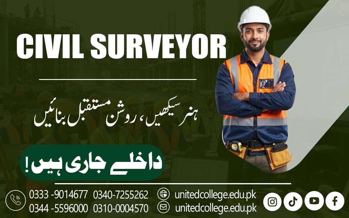

Civil Surveyor Course in Vehari – Learn Practical Surveying Skills
When One Accurate Measurement Can Change the Direction of a Project
A construction project may begin with a drawing, an empty piece of land, and a plan, but turning that plan into real work requires much more than simply following lines on paper. Someone needs to understand the land, measure important points, check levels, identify positions, and provide reliable information before and during construction. This is where civil surveying becomes an important part of building and infrastructure work.
Through a Civil Surveyor Course in Vehari, beginners can learn how measurements, drawings, surveying instruments, and field information come together to support construction activities. Students can explore land surveying, site measurements, distance and angle measurement, leveling, construction layout, and basic survey calculations in a way that connects technical knowledge with practical situations. For someone interested in construction sites, outdoor fieldwork, measurements, and civil engineering support, learning surveying can be a useful way to understand what happens behind the accurate positioning of buildings, roads, and other structures.
Learning to Understand the Land Before Construction Starts
Before the first foundation is prepared, the land itself needs to be understood. A surveyor studies the shape, boundaries, levels, slopes, and existing features of a site so that useful information can be provided for planning and construction. A Civil Surveyor Course helps learners understand how land surveying may involve measuring distances, angles, elevations, coordinates, and reference points, while site surveying focuses on collecting information that relates directly to a particular construction area. In Vehari and surrounding areas, these skills can be relevant to residential buildings, commercial development, roads, land development, and other civil construction activities.
During civil surveyor training, learners can understand how surveyors observe a site, choose suitable reference points, record field measurements, and organize survey data. They can also learn that different projects require different types of information. A topographic survey, for example, may record natural and existing features of the land, while a construction survey may focus more on positions, levels, and measurements needed for building work. This helps students understand why surveying is often one of the early technical steps in a construction project.
Getting Familiar With Total Stations, Levels, and Theodolites
Surveying instruments may look complicated when a learner sees them for the first time, but each tool has a practical purpose that becomes easier to understand through hands-on learning. A Civil Surveyor Course in Vehari can introduce students to commonly used surveying instruments such as total stations, auto levels, dumpy levels, theodolites, measuring tapes, and other survey equipment. A total station can help measure angles and distances and collect positional information, while a theodolite is commonly used for precise angle measurement.
Auto levels and dumpy levels are used in leveling work to help determine differences in elevation between points. Students can learn how these instruments are positioned, checked, and handled during field activities rather than only memorizing their names from a textbook. They can also understand why instrument setup, proper observation, and careful recording are important for accurate results. Practical exposure can make surveying equipment less intimidating for beginners and help them gradually develop confidence with the tools used in construction site surveying and other field surveying activities.
Making Distances, Angles, and Levels Easier to Understand
Surveying involves numbers, but the real challenge is understanding what those numbers represent on the ground. Distance measurement helps determine the space between two points, while angle measurement can help establish direction and alignment. Levelling techniques are used to identify differences in elevation, which can be important when planning foundations, roads, drainage, floors, and other construction elements. Students can learn basic survey calculations and mathematics that help convert field readings into useful information.
They can also become familiar with benchmarks and reference points, which provide a reliable basis for comparing elevations across a site. For beginners, these calculations may seem difficult at first, but practical examples can make them much easier to understand. When a learner measures actual points, records readings, compares levels, and performs simple calculations, the connection between mathematics and field surveying becomes clearer. This type of practical learning can help students understand that surveying calculations are not just classroom exercises; they are tools used to make sense of real land and construction conditions.
Turning Construction Drawings Into Accurate Site Positions
A construction drawing can show dimensions, lines, coordinates, and positions, but those details eventually need to appear on the actual ground. This is where construction layout and site setting out become important. Surveyors may establish points, lines, alignments, and reference positions so that workers can place construction elements according to the planned design. For example, a building layout may require accurate positions for foundations, walls, columns, or other structural elements.
Students can learn how to read site plans and basic construction drawings and understand how information shown on paper relates to physical locations on a site. A Civil Surveyor Course in Vehari can help learners explore building alignment, coordinates, positioning, and construction layout techniques through practical learning. They can also understand why a surveyor needs to check measurements before setting out important points. A small error in positioning can become harder to correct once construction moves forward, so careful checking is an important part of professional surveying work.
Developing Field Surveying Skills Through Accurate Data Collection
Good surveying is not simply about taking measurements; it is also about collecting, recording, checking, and understanding those measurements correctly. During field surveying, a surveyor may take many readings from different points and record information about distances, elevations, coordinates, and site features. Students can learn how to organize field notes, identify survey points, record observations, and maintain clear survey data. They can also practice checking unusual readings instead of immediately accepting every measurement as correct.
If a result seems different from what is expected, the surveyor may need to check the instrument setup, repeat the measurement, or review the field notes. These habits can help learners develop accuracy and attention to detail. Practical surveying skills become stronger when students repeatedly connect classroom concepts with real field activities. Whether the work involves land measurement, site surveying, construction surveying, or a topographic survey, reliable data is important because engineers, contractors, and other construction professionals may depend on that information when making decisions about a project.
Exploring Topographic Surveys, Contour Work, and Modern Technology
Land does not always have a flat and simple surface, which is why surveyors also need to understand features such as slopes, changes in elevation, and natural or existing objects. Topographic surveying helps record these features, while contour surveying can be used to represent changes in ground elevation in a way that can be understood through plans and maps. Learners can explore how these types of surveys differ from basic land measurement and why they may be useful during planning. Modern surveying tools have also changed how field information is collected and processed.
GPS surveying and other digital technologies can help determine positions and support the collection of location-based information, while total stations can provide detailed measurements during construction work. However, technology does not remove the need for practical knowledge. A surveyor still needs to understand coordinates, reference points, instrument setup, accuracy, and field procedures. Learning both traditional surveying techniques and modern surveying tools can give students a broader understanding of how civil surveying is developing alongside construction technology.
Understanding Surveyor Safety and the Reality of Construction Sites
Surveying often takes place in active environments where workers, vehicles, machinery, uneven ground, and construction activities may all be present at the same time. This means technical knowledge should be supported by safe working habits. Students can learn why surveyors need to remain aware of their surroundings, follow site safety procedures, communicate with other workers, and use appropriate protective equipment when required. A surveyor may need to move around a large site while carrying or operating equipment, so planning the work carefully can help reduce unnecessary risks.
Through practical training, learners can also understand how surveyors communicate with engineers, supervisors, contractors, and site teams. United College of Technology can help learners explore civil surveying concepts through technical and practical learning, allowing students to become familiar with instruments, measurements, drawings, field procedures, and construction-related situations. This kind of learning can help beginners see that being a surveyor involves more than operating equipment; it also requires responsibility, observation, communication, and careful decision-making.
Building Practical Surveying Skills for Future Civil Work in Vehari
Learning civil surveying can open the door to a technical area where measurements, construction drawings, fieldwork, and technology come together. A Civil Surveyor Course in Vehari can help beginners develop knowledge of land surveying, construction surveying, site measurements, leveling, surveying instruments, construction layout, field data collection, survey calculations, coordinates, and modern surveying tools. These skills can support further learning or entry-level directions related to site surveying, construction surveying, land measurement, building layout, road surveying, and other civil engineering activities, depending on a learner's education and practical experience.
The most useful part of learning surveying is not simply remembering formulas or instrument names; it is developing the ability to observe a site, collect reliable information, check measurements, understand drawings, and communicate accurate data. For students and fresh learners in Vehari who are interested in construction and outdoor technical work, civil surveying can provide a practical field to explore while building a stronger understanding of how buildings, roads, and infrastructure projects are measured and positioned in the real world.
Frequently Asked Questions (FAQs)
A Civil Surveyor Course teaches practical skills related to land measurement, site surveying, leveling, construction layout, surveying instruments, and field calculations.
Students, beginners, school or college graduates, and people interested in construction and surveying work can consider joining the course.
The training can include land surveying, distance and angle measurement, leveling, elevation measurement, surveying instruments, construction layout, field data collection, and basic surveying calculations.
Students can become familiar with total stations, auto levels, dumpy levels, theodolites, measuring tools, GPS equipment, and other survey equipment.
Practical training helps learners understand how instruments, measurements, calculations, drawings, and construction layout techniques are used in real field situations.
Admission Open: Start Your Professional Journey Today!
Join United College of Technology and build a career with practical training, recognized certifications, and Gulf job support. Seats are limited.
Apply Now via WhatsAppContact Information
- Address: Rawalpindi: F-272 Main New Katarian Stop, Old IJP Road | Lahore Campus: Lahore, Pakistan
- Phone/WhatsApp: 0340-7255262 / 0333-9014677 / 0301-5044340 / 0310-0004570 / 051-8770756
- Website: unitedcollege.edu.pk
















Leave a Comment